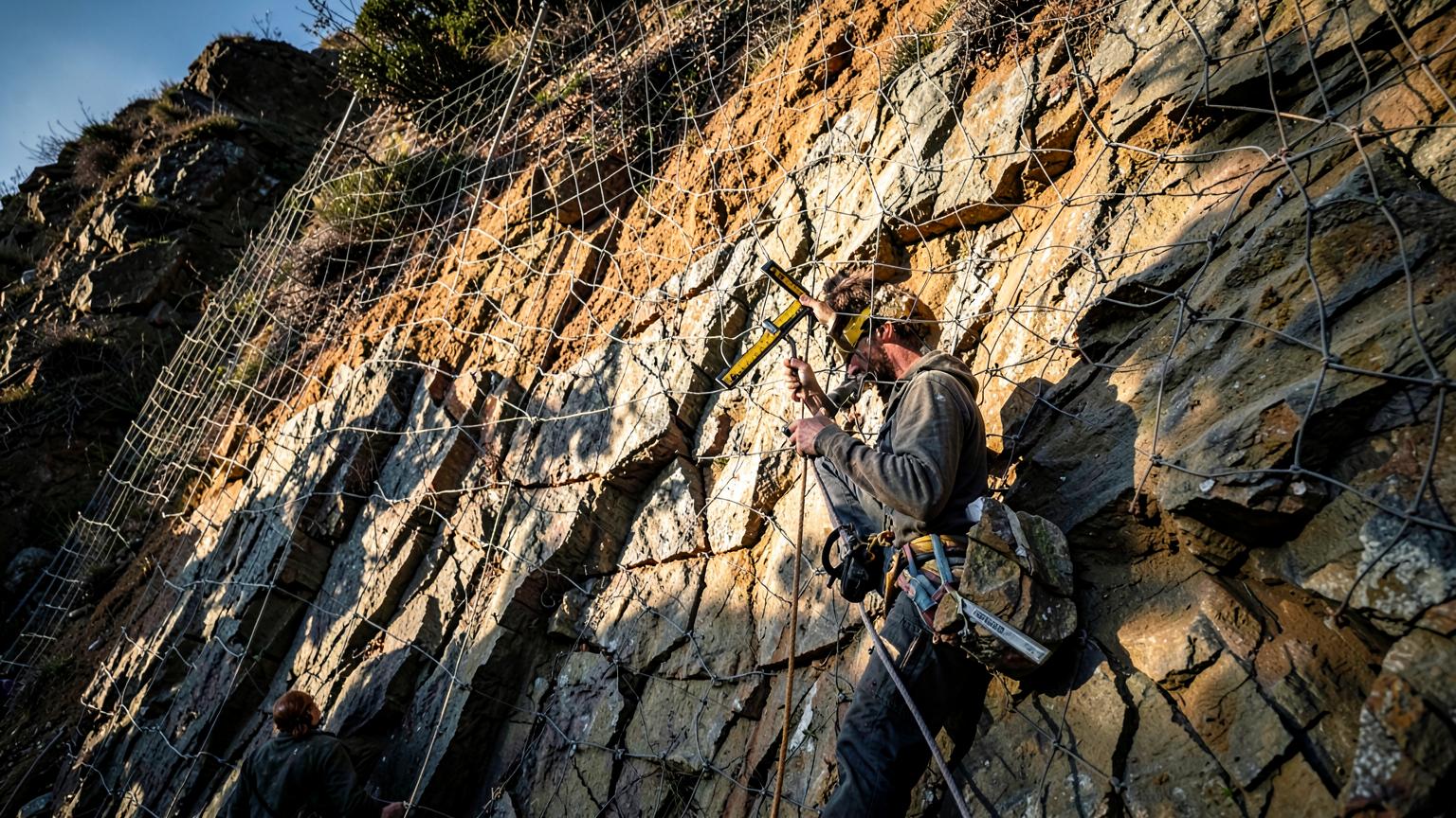
Geological Survey & Rock Slope Stability
Geological characterization and rock slope stability assessment for infrastructure, mining and mountainous developments.
Geological Survey & Rock Slope Stability
Geological characterization and rock slope stability assessment for infrastructure, mining and mountainous developments.
GEODRILL provides comprehensive geological survey and rock slope stability services tailored to meet the demands of modern infrastructure, mining, and environmental projects. Our expert team of geologists and geotechnical engineers applies advanced techniques to deliver accurate, site-specific geological insights essential for safe and sustainable development.
Our geological survey services include detailed structural and lithological mapping, terrain classification, geomorphological analysis, and geotechnical investigations. Using a combination of field surveys, remote sensing, and GIS-based tools, we generate high-resolution geological models that guide planning and design.
In rock slope stability, GEODRILL conducts thorough assessments to evaluate potential failure mechanisms. We utilize kinematic analysis, limit equilibrium modeling, and slope classification systems to identify hazards and propose effective mitigation measures. These evaluations are crucial in projects involving road cuts, tunnels, quarries, dams, and mountainous developments.
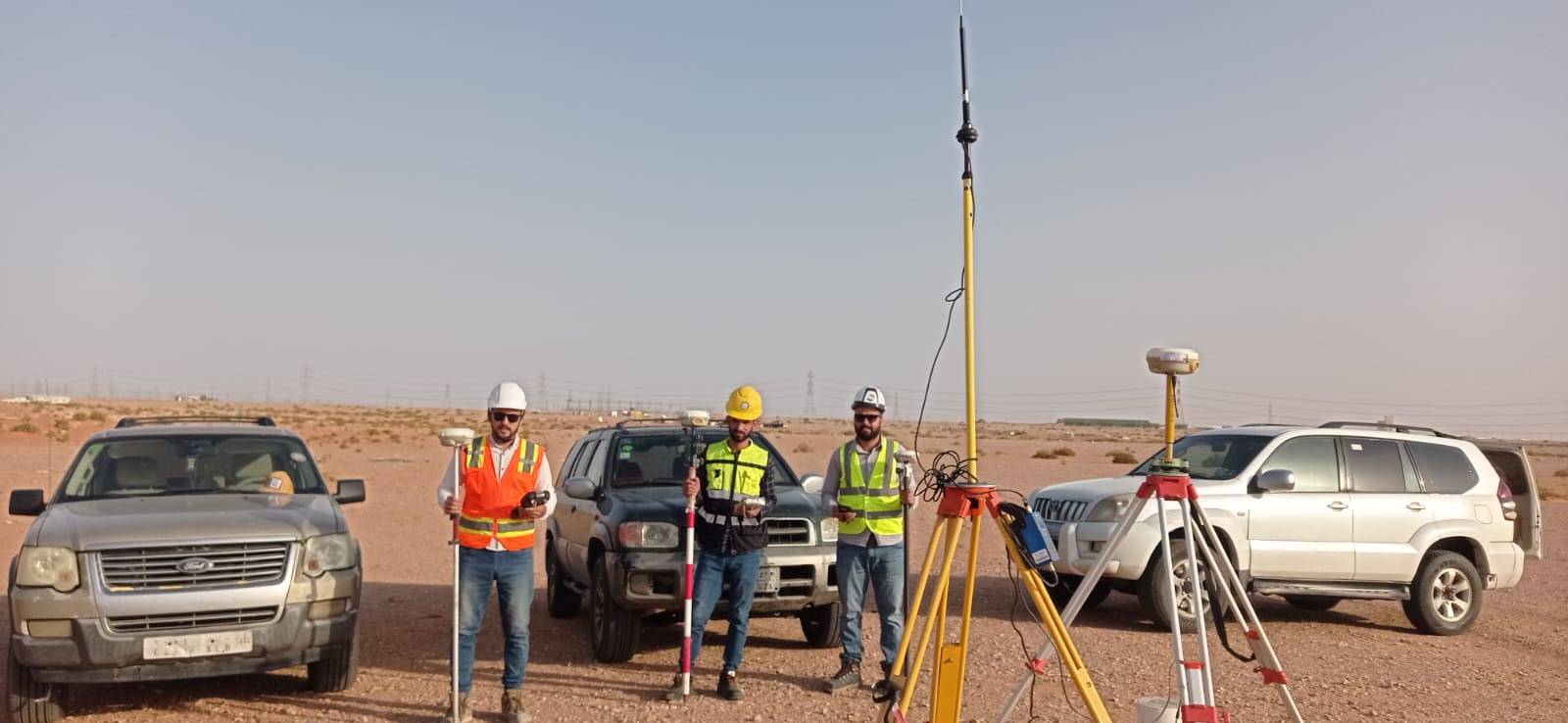
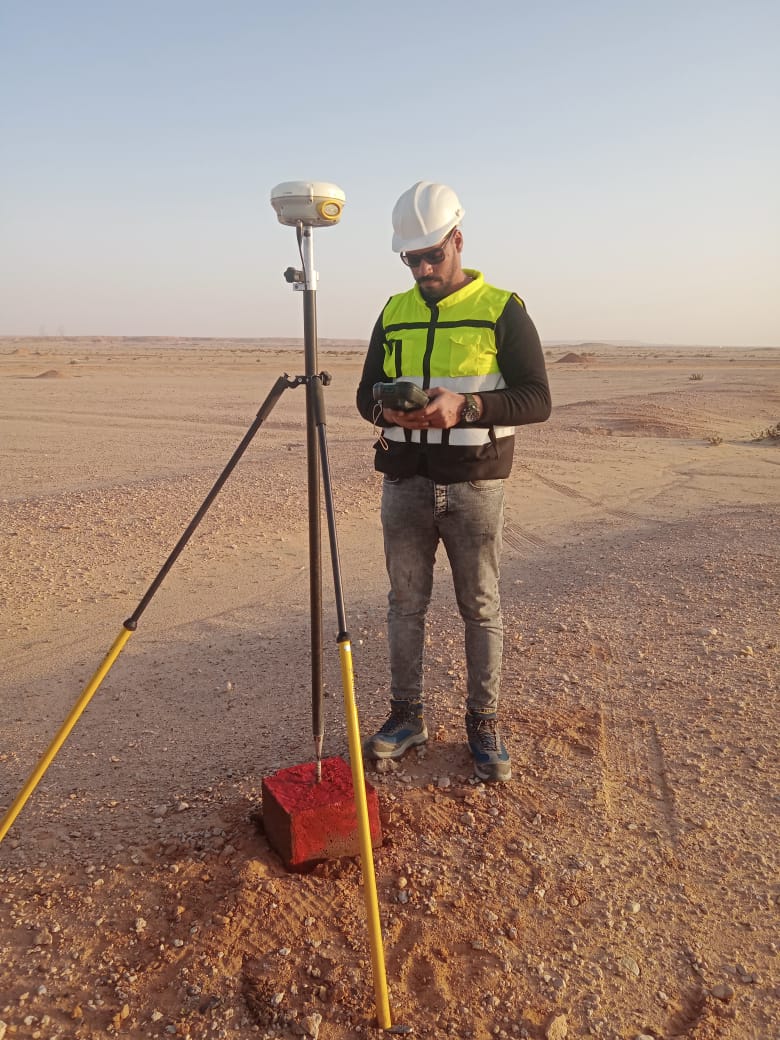
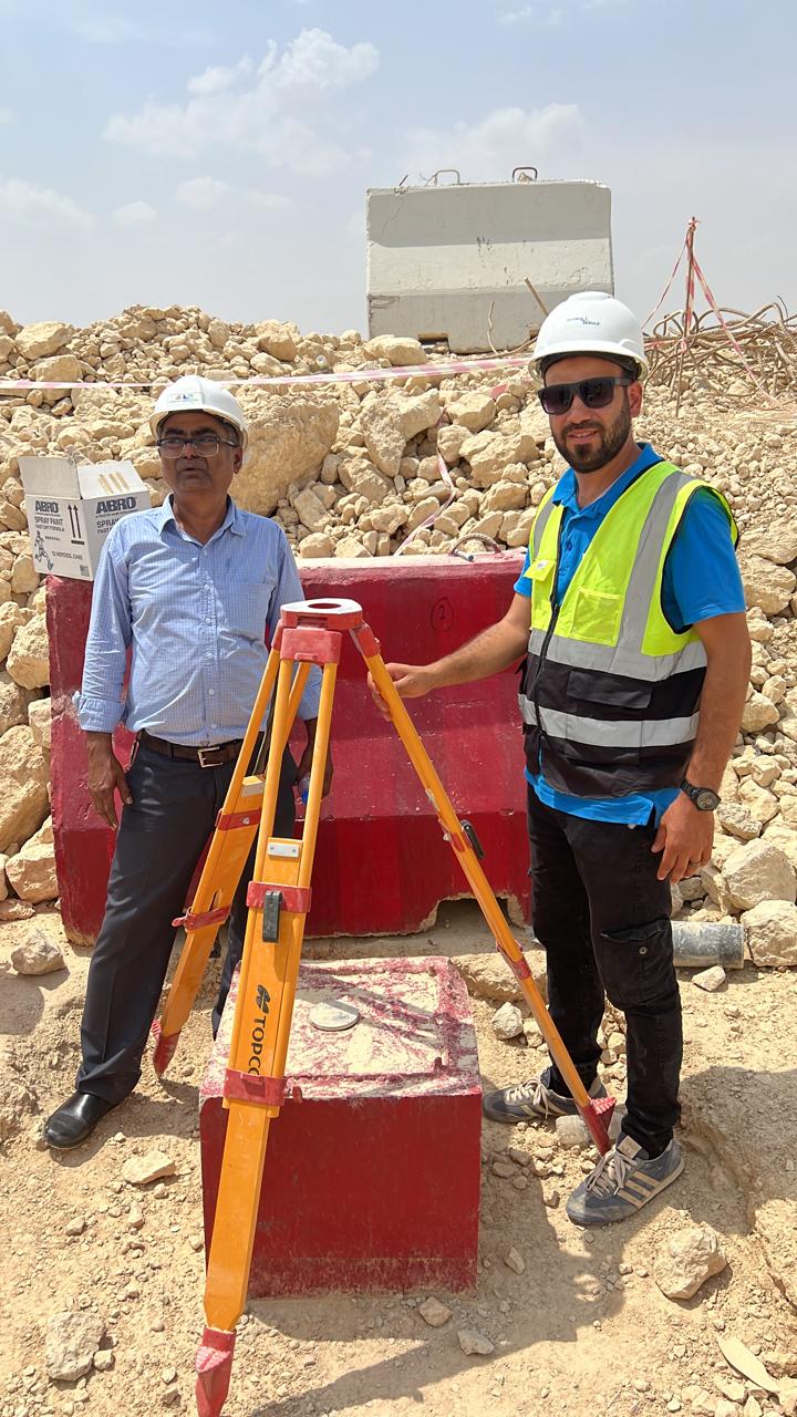
In Action
Ready to discuss your project?
Our experts are ready to provide technical consultation and support for your specific needs.