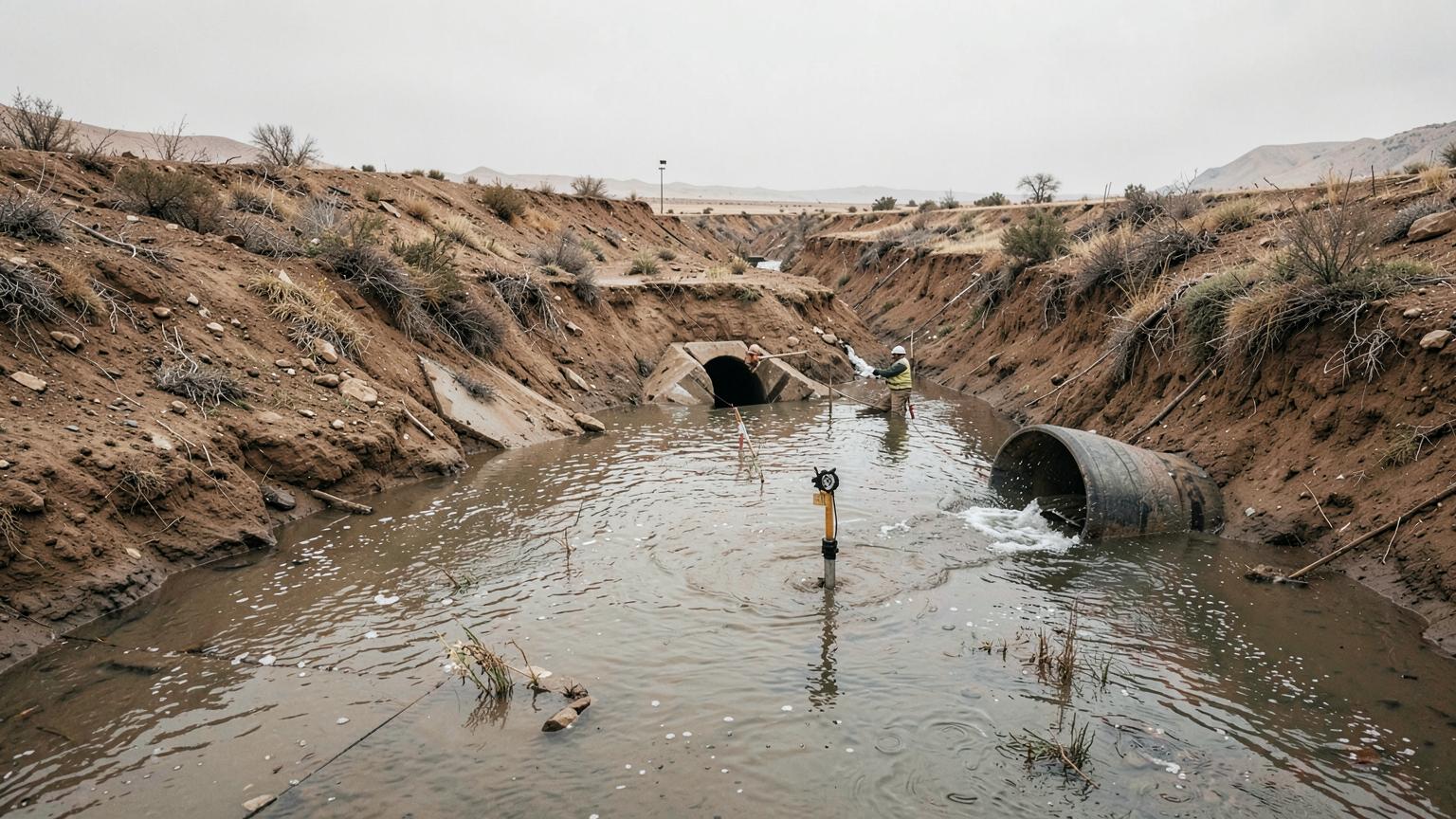
Hydrology Studies
Surface and groundwater analysis, flood risk assessment, and hydrological modeling.
Hydrology Studies
Surface and groundwater analysis, flood risk assessment, and hydrological modeling.
At GEODRILL we offer comprehensive hydrological studies aimed at understanding surface and groundwater behavior for infrastructure planning, risk mitigation, and sustainable development. Our team utilizes advanced software, GIS-based modeling, and field investigations to assess water flow, flood risks, recharge potential, and water balance.
We support government, industrial, and private sector clients with accurate data, reliable simulations, and practical recommendations tailored to project-specific and regional conditions.
In Action


Ready to discuss your project?
Our experts are ready to provide technical consultation and support for your specific needs.